Bosnia & Herzegovina

Европа

2км+1км+250м *.jnx
Бумажные военные карты Генерального штаба
1: 100 000  80х-90х годов
Бумажные военные карты Генерального штаба
1: 50 000  80х-90х годов
Современные военные карты ГосГисЦентр
1: 25 000  2010х годов выпуска.

We've prepared a map of every hill and clearing for your next trip.

The map contains detailed topographical data, including: landforms, elevations, roads and trails, rivers, lakes and geographic points.
Accurate mapping of cards. The position is on the road, not 100 meters from it.
Electric transmission lines are drawn in detail, poles, deforestation, bushes and gardens under power lines are marked
The boundaries of the blocks and numbers are indicated, quarterly clearings, cutting along them,
При заказе других стран так же используется карты Генерального штаба СССР, местные военные карты и материал проекта OSM. 100% покрытие по всей планете. Максимальная детализация.
Исландия, окрестности Рейкьявика
The set includes 3 raster layers, arranged by scale:

1:25 000

newest tOPO maps

1 cm = 250m
250 meters
The cartographic product of the State Gis Center is the most detailed topographic military maps of the Russian Federation.
The margins of the sheets are trimmed and the edges are glued together seamlessly.
Brightness and contrast are manually increased for better readability in the field.

military maps 80-90s

General Staff 1: 100 000

1 cm = 1 km
Kilometers maps
Detailed maps of the area, available both for the nearest forest park and for the Amazonian jungle.
As a result of the Cold War, communism did not win throughout the entire planet. But the far-reaching plans of the USSR left detailed cartography covering the planet. With the collapse of the Union, the maps of the “general staff” became public knowledge.
These maps still have no modern analogues in difficult-to-reach areas.

military maps 80-90s

General Staff 1: 200,000

1 cm = 2 km
2-kilometer routes
A vector img background is applied.  Modern roads with well-established clearings and populated areas.  The map is scaled for easy searching at a distance.  There is address search and routing using vector material.
Sat *.jnx
Satellite imagery is an up-to-date map of the area from this year.

Only on satellite imagery will you see the exact shape of each clearing and individual trees, the contour of the reservoir with 100% coincidence in coordinates and the new river bed.

We have prepared modern satellite maps for use on Garmin and Lowrance navigators and chart plotters, as a more detailed alternative to proprietary services.
We present preloaded satellite images at 1:10000 scale.  Throughout the entire region (subject of the Russian Federation).

When preparing maps, we are not limited by the capabilities of the garmin service, in terms of file size and territory. Thanks to this, the satellite map of the Kamchatka region occupies 8GB and has 100% coverage over the entire territory with a detail of 120m.  at 1 cm.
Garmin Birdseye  - satellite map download service for garmin.   The service operates on a subscription basis.   Subscription fee is $30 per year.

You can upload pictures up to 100MB. In this volume it is possible to install maps with a radius of up to 25 km, with minimal detail.  Uploading images of an entire region is not possible. Before each new route, preliminary loading of a separate area of ​​maps from a PC is required.
Garmin's satellite image provider is Microsoft's Bing service. Bing has excellent coverage throughout the US and Europe.

But there are territorial gaps in the Russian Federation. When preparing maps, satellite imagery of resources is used: Yandex, Esri, Google, Bing.  Material Combines for 100% coverage in a given area.
A relief and a vector map with roads, clearings, rivers, populated and useful points are superimposed. Can be installed as a main map or as an addition to general staff or depth maps.
3in1 *.jnx
Routing Vector Map

NavigatingBosnia and Herzegovina with Garmin Maps

Explore the Heart ofSoutheastern Europe

Welcome to Bosnia and Herzegovina, a country nestled in the heart ofSoutheastern Europe, known for its rich history, diverse culture, andbreathtaking landscapes. To fully experience the wonders of this nation, equipyourself with Garmin maps for accurate and reliable navigation.

Discovering HistoricalTreasures

Sarajevo: The Capital City

Navigate the charming streets of Sarajevo, the capital city, with Garmin'sprecise GPS devices. Explore the historic Bascarsija Quarter, visit the LatinBridge, and learn about the city's unique blend of cultures.

Mostar: The Old Bridge

Journey to Mostar, famous for its iconic Old Bridge (Stari Most). UseGarmin's maps to explore this picturesque town, stroll along the cobblestonestreets, and witness the captivating traditions of the local divers.

Embracing Natural Beauty

Plitvice Lakes National Park

Venture into Croatia's Plitvice Lakes National Park, located just acrossthe border, with the help of Garmin GPS navigation. Marvel at the cascadingwaterfalls, turquoise lakes, and lush forests of this UNESCO World Heritagesite.

Sutjeska National Park

Explore the pristine wilderness of Sutjeska National Park, home to thePerucica, one of Europe's last primeval forests. Garmin devices will guide youthrough hiking trails and reveal stunning vistas.

Navigating the Road LessTraveled

Mountain Roads

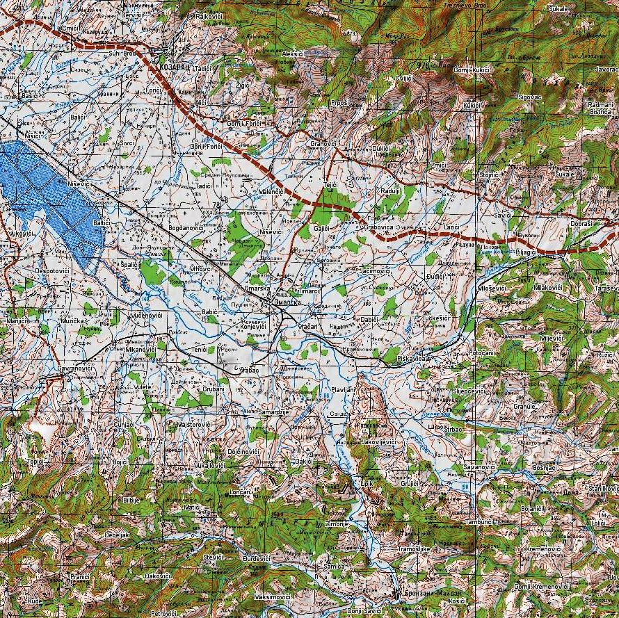
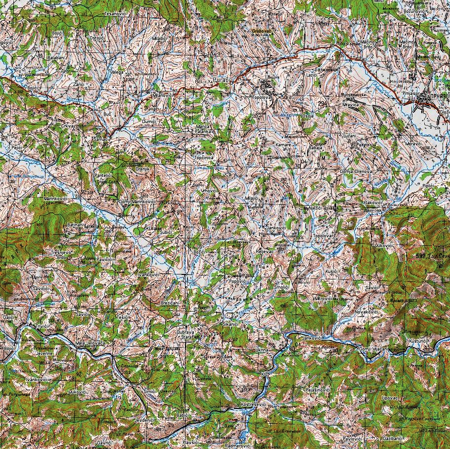
Bosnia and Herzegovina offer spectacular mountain roads, perfect for roadtrips. Garmin's automotive GPS devices ensure you find your way through thewinding routes of the Dinaric Alps and discover hidden gems.

Off-Roading Adventures

For off-road enthusiasts, Garmin's GPS tools provide topographic maps andtrail information. Conquer the challenging terrains of the countryside andexperience the thrill of adventure.

Cultural Experiences

Engage with the warm-hearted locals, savor traditional Bosnian cuisine, andimmerse yourself in the country's rich cultural traditions. Capture the beautyof historical sites, Ottoman architecture, and vibrant markets.

Plan Your Bosnian Journey withGarmin

Whether you're exploring Sarajevo's historic landmarks, marveling atnatural wonders, or embarking on a road trip through the Dinaric Alps, Garminmaps and navigation devices are your trusted companions. Navigate Bosnia andHerzegovina with ease and confidence, knowing Garmin has you covered.

Road network and settlements
  • Address search
Route planning
Adress  Search
Satellite imagery is an up-to-date map of the area from this year.  

Only on satellite imagery will you see the exact shape of each clearing and individual trees, the contour of the reservoir with 100% coincidence in coordinates and the new river bed.

We have prepared modern satellite maps for use on Garmin and Lowrance navigators and chart plotters, as a more detailed alternative to proprietary services.
We present preloaded satellite images at 1:10000 scale.  Throughout the entire region (subject of the Russian Federation).

When preparing maps, we are not limited by the capabilities of the garmin service, in terms of file size and territory. Thanks to this, the satellite map of the Kamchatka region occupies 8GB and has 100% coverage over the entire territory with a detail of 120m.  at 1 cm.
Garmin Birdseye - satellite map download service for garmin.   The service operates on a subscription basis.   Subscription fee is $30 per year.  

You can upload pictures up to 100MB. In this volume it is possible to install maps with a radius of up to 25 km, with minimal detail.  Uploading images of an entire region is not possible. Before each new route, preliminary loading of a separate area of   maps from a PC is required.
Garmin's satellite image provider is Microsoft's Bing service. Bing has excellent coverage throughout the US and Europe.

But there are territorial gaps in the Russian Federation. When preparing maps, satellite imagery of resources is used: Yandex, Esri, Google, Bing.  Material Combines for 100% coverage in a given area.

A relief and a vector map with roads, clearings, rivers, populated and useful points are superimposed. Can be installed as a main map or as an addition to general staff or depth maps.
Бумажные военные карты Генерального штаба
1: 100 000  80х-90х годов
Бумажные военные карты Генерального штаба
1: 50 000  80х-90х годов
Современные военные карты ГосГисЦентр
1: 25 000  2010х годов выпуска.

We've prepared a map of every hill and clearing for your next trip.  

The map contains detailed topographical data, including: landforms, elevations, roads and trails, rivers, lakes and geographic points.
Accurate mapping of cards. The position is on the road, not 100 meters from it.
Electric transmission lines are drawn in detail, poles, deforestation, bushes and gardens under power lines are marked
The boundaries of the blocks and numbers are indicated, quarterly clearings, cutting along them,
При заказе других стран так же используется карты Генерального штаба СССР, местные военные карты и материал проекта OSM. 100% покрытие по всей планете. Максимальная детализация.
Исландия, окрестности Рейкьявика
The set includes 3 raster layers, arranged by scale:  

1:25 000

newest military maps

1 cm = 250m  
250 meters  
The cartographic product of the State Gis Center is the most detailed topographic military maps of the Russian Federation.
The margins of the sheets are trimmed and the edges are glued together seamlessly.
Brightness and contrast are manually increased for better readability in the field.

military maps 80-90s

ussr 1: 100 000

1 cm = 1 km
Detailed maps of the area, available both for the nearest forest park and for the Amazonian jungle.
As a result of the Cold War, communism did not win throughout the entire planet. But the far-reaching plans of the USSR left detailed cartography covering the planet. With the collapse of the Union, the maps of the “general staff” became public knowledge.
These maps still have no modern analogues in difficult-to-reach areas.

military maps 80-90s

ussr 1: 200,000

1 cm = 2 km
A vector img background is applied.  Modern roads with well-established clearings and populated areas.  The map is scaled for easy searching at a distance.  There is address search and routing using vector material.

Vector & All Rastr Layers

Бумажные военные карты Генерального штаба
1: 100 000  80х-90х годов
Бумажные военные карты Генерального штаба
1: 50 000  80х-90х годов
Современные военные карты ГосГисЦентр
1: 25 000  2010х годов выпуска.

We've prepared a map of every hill and clearing for your next trip.  

The map contains detailed topographical data, including: landforms, elevations, roads and trails, rivers, lakes and geographic points.
Accurate mapping of cards. The position is on the road, not 100 meters from it.
Electric transmission lines are drawn in detail, poles, deforestation, bushes and gardens under power lines are marked
The boundaries of the blocks and numbers are indicated, quarterly clearings, cutting along them,
При заказе других стран так же используется карты Генерального штаба СССР, местные военные карты и материал проекта OSM. 100% покрытие по всей планете. Максимальная детализация.
Исландия, окрестности Рейкьявика
The set includes 3 raster layers, arranged by scale:  

1:25 000

newest military maps

1 cm = 250m  
250 meters  
The cartographic product of the State Gis Center is the most detailed topographic military maps of the Russian Federation.
The margins of the sheets are trimmed and the edges are glued together seamlessly.
Brightness and contrast are manually increased for better readability in the field.

military maps 80-90s

ussr 1: 100 000

1 cm = 1 km
Detailed maps of the area, available both for the nearest forest park and for the Amazonian jungle.
As a result of the Cold War, communism did not win throughout the entire planet. But the far-reaching plans of the USSR left detailed cartography covering the planet. With the collapse of the Union, the maps of the “general staff” became public knowledge.
These maps still have no modern analogues in difficult-to-reach areas.

military maps 80-90s

ussr 1: 200,000

1 cm = 2 km
A vector img background is applied.  Modern roads with well-established clearings and populated areas.  The map is scaled for easy searching at a distance.  There is address search and routing using vector material.
Satellite imagery is an up-to-date map of the area from this year.  

Only on satellite imagery will you see the exact shape of each clearing and individual trees, the contour of the reservoir with 100% coincidence in coordinates and the new river bed.

We have prepared modern satellite maps for use on Garmin and Lowrance navigators and chart plotters, as a more detailed alternative to proprietary services.
We present preloaded satellite images at 1:10000 scale.  Throughout the entire region (subject of the Russian Federation).

When preparing maps, we are not limited by the capabilities of the garmin service, in terms of file size and territory. Thanks to this, the satellite map of the Kamchatka region occupies 8GB and has 100% coverage over the entire territory with a detail of 120m.  at 1 cm.
Garmin Birdseye - satellite map download service for garmin.   The service operates on a subscription basis.   Subscription fee is $30 per year.  

You can upload pictures up to 100MB. In this volume it is possible to install maps with a radius of up to 25 km, with minimal detail.  Uploading images of an entire region is not possible. Before each new route, preliminary loading of a separate area of   maps from a PC is required.
Garmin's satellite image provider is Microsoft's Bing service. Bing has excellent coverage throughout the US and Europe.

But there are territorial gaps in the Russian Federation. When preparing maps, satellite imagery of resources is used: Yandex, Esri, Google, Bing.  Material Combines for 100% coverage in a given area.

A relief and a vector map with roads, clearings, rivers, populated and useful points are superimposed. Can be installed as a main map or as an addition to general staff or depth maps.