Greece

Европа

2км+1км+250м *.jnx
Бумажные военные карты Генерального штаба
1: 100 000  80х-90х годов
Бумажные военные карты Генерального штаба
1: 50 000  80х-90х годов
Современные военные карты ГосГисЦентр
1: 25 000  2010х годов выпуска.

We've prepared a map of every hill and clearing for your next trip.

The map contains detailed topographical data, including: landforms, elevations, roads and trails, rivers, lakes and geographic points.
Accurate mapping of cards. The position is on the road, not 100 meters from it.
Electric transmission lines are drawn in detail, poles, deforestation, bushes and gardens under power lines are marked
The boundaries of the blocks and numbers are indicated, quarterly clearings, cutting along them,
При заказе других стран так же используется карты Генерального штаба СССР, местные военные карты и материал проекта OSM. 100% покрытие по всей планете. Максимальная детализация.
Исландия, окрестности Рейкьявика
The set includes 3 raster layers, arranged by scale:

1:25 000

newest tOPO maps

1 cm = 250m
250 meters
The cartographic product of the State Gis Center is the most detailed topographic military maps of the Russian Federation.
The margins of the sheets are trimmed and the edges are glued together seamlessly.
Brightness and contrast are manually increased for better readability in the field.

military maps 80-90s

General Staff 1: 100 000

1 cm = 1 km
Kilometers maps
Detailed maps of the area, available both for the nearest forest park and for the Amazonian jungle.
As a result of the Cold War, communism did not win throughout the entire planet. But the far-reaching plans of the USSR left detailed cartography covering the planet. With the collapse of the Union, the maps of the “general staff” became public knowledge.
These maps still have no modern analogues in difficult-to-reach areas.

military maps 80-90s

General Staff 1: 200,000

1 cm = 2 km
2-kilometer routes
A vector img background is applied.  Modern roads with well-established clearings and populated areas.  The map is scaled for easy searching at a distance.  There is address search and routing using vector material.
Sat *.jnx
Satellite imagery is an up-to-date map of the area from this year.

Only on satellite imagery will you see the exact shape of each clearing and individual trees, the contour of the reservoir with 100% coincidence in coordinates and the new river bed.

We have prepared modern satellite maps for use on Garmin and Lowrance navigators and chart plotters, as a more detailed alternative to proprietary services.
We present preloaded satellite images at 1:10000 scale.  Throughout the entire region (subject of the Russian Federation).

When preparing maps, we are not limited by the capabilities of the garmin service, in terms of file size and territory. Thanks to this, the satellite map of the Kamchatka region occupies 8GB and has 100% coverage over the entire territory with a detail of 120m.  at 1 cm.
Garmin Birdseye  - satellite map download service for garmin.   The service operates on a subscription basis.   Subscription fee is $30 per year.

You can upload pictures up to 100MB. In this volume it is possible to install maps with a radius of up to 25 km, with minimal detail.  Uploading images of an entire region is not possible. Before each new route, preliminary loading of a separate area of ​​maps from a PC is required.
Garmin's satellite image provider is Microsoft's Bing service. Bing has excellent coverage throughout the US and Europe.

But there are territorial gaps in the Russian Federation. When preparing maps, satellite imagery of resources is used: Yandex, Esri, Google, Bing.  Material Combines for 100% coverage in a given area.
A relief and a vector map with roads, clearings, rivers, populated and useful points are superimposed. Can be installed as a main map or as an addition to general staff or depth maps.
3in1 *.jnx
Routing Vector Map

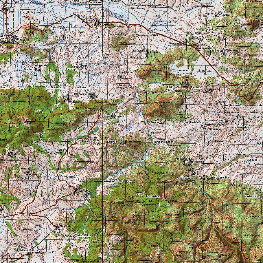
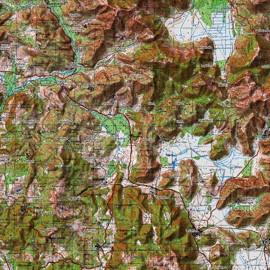
ExploreGreece with Garmin Maps

Navigate Greece's Rich Historyand Scenic Beauty

Welcome to Greece, a land where ancient history, stunning landscapes, andvibrant culture come together. With Garmin maps as your trusted companion, youcan fully immerse yourself in the beauty and history of this Mediterranean gem.Let's embark on a journey to explore the wonders of Greece.

Discover Greece's HistoricTreasures

1. Athens - The Cradle ofDemocracy

Armed with your Garmin GPSMAP 64s or Edge 1000, explore the historic cityof Athens. Navigate to iconic landmarks like the Acropolis, where you canmarvel at the Parthenon, an ancient temple dedicated to the goddess Athena. Useyour Garmin device to uncover the secrets of this ancient city.

2. Delphi - The Oracle'sSanctuary

Let Garmin guide you to the ancient sanctuary of Delphi. With your Garmin GPSMAP62s or Edge Explore 820, explore the ruins of this once-thriving center ofprophecy. Hike the sacred path of the Sybil and visit the Temple of Apollo,where the Oracle delivered her enigmatic predictions.

Uncover Greece's NaturalBeauty

1. Santorini - The Aegean Gem

Navigate to the breathtaking island of Santorini with your Garmin GPSMAP66i or Oregon 750t. Explore the charming villages of Oia and Fira, known fortheir white-washed buildings and stunning sunsets. Capture these moments withyour Garmin device and create memories to last a lifetime.

2. Samaria Gorge - Hiker'sParadise

Use your Garmin GPSMAP 78 or Montana 700 to conquer the Samaria Gorge inCrete. This spectacular hike takes you through a winding canyon with toweringcliffs and lush vegetation. Keep an eye out for rare wildlife as you traversethis natural wonder.

Experience Greek Culture andCuisine

1. Greek Gastronomy

Let Garmin guide your taste buds to local tavernas and markets. Use yourGarmin GPSMAP 64 or Edge Explore 1000 to find authentic Greek dishes likemoussaka, souvlaki, and baklava. Savor the flavors of Greece while enjoyingstunning Mediterranean views.

2. Traditional Festivals

Discover Greece's vibrant culture with Garmin as your compass. Use yourGarmin GPSMAP 78sc or Edge Explore 1000 to find local festivals andcelebrations. Join in the dancing, music, and traditions of Greece, which comealive during festivals like the Athens Epidaurus Festival and ApokreasCarnival.

Island-Hopping and CoastalAdventures

1. Island Exploration

Plan your island-hopping adventure with Garmin GPSMAP 64. Greece boaststhousands of islands, each with its unique charm. Whether you're sailing in theCyclades or exploring the Ionian Islands, Garmin ensures you find your way toparadise.

2. Watersports and Beaches

If you're a watersports enthusiast, let your Garmin GPSMAP 66s or Montana610 guide you to the best spots for snorkeling, windsurfing, and diving.Greece's crystal-clear waters and golden beaches provide endless opportunitiesfor coastal adventures.

Eco-Friendly Travel

1. Responsible Tourism

As you explore Greece's natural wonders, remember to be a responsibletraveler. Follow eco-friendly practices, respect local wildlife, and dispose ofwaste properly. Choose eco-conscious accommodations and support sustainabletourism initiatives.

2. Nature Conservation

Greece is home to diverse ecosystems. Use your Garmin GPSMAP 78sc or EdgeExplore 1000 to locate national parks and protected areas. Support conservationefforts by learning about local wildlife and ecosystems during your travels.

Conquer Greece with Garmin

Garmin maps and devices empower you to make the most of your Greekadventure. Whether you're delving into ancient history, savoring Greek cuisine,or island-hopping through the Aegean, Garmin provides reliable navigation andenriches your journey through Greece's enchanting landscapes and culturaltreasures.

Road network and settlements
  • Address search
Route planning
Adress  Search
Satellite imagery is an up-to-date map of the area from this year.  

Only on satellite imagery will you see the exact shape of each clearing and individual trees, the contour of the reservoir with 100% coincidence in coordinates and the new river bed.

We have prepared modern satellite maps for use on Garmin and Lowrance navigators and chart plotters, as a more detailed alternative to proprietary services.
We present preloaded satellite images at 1:10000 scale.  Throughout the entire region (subject of the Russian Federation).

When preparing maps, we are not limited by the capabilities of the garmin service, in terms of file size and territory. Thanks to this, the satellite map of the Kamchatka region occupies 8GB and has 100% coverage over the entire territory with a detail of 120m.  at 1 cm.
Garmin Birdseye - satellite map download service for garmin.   The service operates on a subscription basis.   Subscription fee is $30 per year.  

You can upload pictures up to 100MB. In this volume it is possible to install maps with a radius of up to 25 km, with minimal detail.  Uploading images of an entire region is not possible. Before each new route, preliminary loading of a separate area of   maps from a PC is required.
Garmin's satellite image provider is Microsoft's Bing service. Bing has excellent coverage throughout the US and Europe.

But there are territorial gaps in the Russian Federation. When preparing maps, satellite imagery of resources is used: Yandex, Esri, Google, Bing.  Material Combines for 100% coverage in a given area.

A relief and a vector map with roads, clearings, rivers, populated and useful points are superimposed. Can be installed as a main map or as an addition to general staff or depth maps.
Бумажные военные карты Генерального штаба
1: 100 000  80х-90х годов
Бумажные военные карты Генерального штаба
1: 50 000  80х-90х годов
Современные военные карты ГосГисЦентр
1: 25 000  2010х годов выпуска.

We've prepared a map of every hill and clearing for your next trip.  

The map contains detailed topographical data, including: landforms, elevations, roads and trails, rivers, lakes and geographic points.
Accurate mapping of cards. The position is on the road, not 100 meters from it.
Electric transmission lines are drawn in detail, poles, deforestation, bushes and gardens under power lines are marked
The boundaries of the blocks and numbers are indicated, quarterly clearings, cutting along them,
При заказе других стран так же используется карты Генерального штаба СССР, местные военные карты и материал проекта OSM. 100% покрытие по всей планете. Максимальная детализация.
Исландия, окрестности Рейкьявика
The set includes 3 raster layers, arranged by scale:  

1:25 000

newest military maps

1 cm = 250m  
250 meters  
The cartographic product of the State Gis Center is the most detailed topographic military maps of the Russian Federation.
The margins of the sheets are trimmed and the edges are glued together seamlessly.
Brightness and contrast are manually increased for better readability in the field.

military maps 80-90s

ussr 1: 100 000

1 cm = 1 km
Detailed maps of the area, available both for the nearest forest park and for the Amazonian jungle.
As a result of the Cold War, communism did not win throughout the entire planet. But the far-reaching plans of the USSR left detailed cartography covering the planet. With the collapse of the Union, the maps of the “general staff” became public knowledge.
These maps still have no modern analogues in difficult-to-reach areas.

military maps 80-90s

ussr 1: 200,000

1 cm = 2 km
A vector img background is applied.  Modern roads with well-established clearings and populated areas.  The map is scaled for easy searching at a distance.  There is address search and routing using vector material.

Vector & All Rastr Layers

Бумажные военные карты Генерального штаба
1: 100 000  80х-90х годов
Бумажные военные карты Генерального штаба
1: 50 000  80х-90х годов
Современные военные карты ГосГисЦентр
1: 25 000  2010х годов выпуска.

We've prepared a map of every hill and clearing for your next trip.  

The map contains detailed topographical data, including: landforms, elevations, roads and trails, rivers, lakes and geographic points.
Accurate mapping of cards. The position is on the road, not 100 meters from it.
Electric transmission lines are drawn in detail, poles, deforestation, bushes and gardens under power lines are marked
The boundaries of the blocks and numbers are indicated, quarterly clearings, cutting along them,
При заказе других стран так же используется карты Генерального штаба СССР, местные военные карты и материал проекта OSM. 100% покрытие по всей планете. Максимальная детализация.
Исландия, окрестности Рейкьявика
The set includes 3 raster layers, arranged by scale:  

1:25 000

newest military maps

1 cm = 250m  
250 meters  
The cartographic product of the State Gis Center is the most detailed topographic military maps of the Russian Federation.
The margins of the sheets are trimmed and the edges are glued together seamlessly.
Brightness and contrast are manually increased for better readability in the field.

military maps 80-90s

ussr 1: 100 000

1 cm = 1 km
Detailed maps of the area, available both for the nearest forest park and for the Amazonian jungle.
As a result of the Cold War, communism did not win throughout the entire planet. But the far-reaching plans of the USSR left detailed cartography covering the planet. With the collapse of the Union, the maps of the “general staff” became public knowledge.
These maps still have no modern analogues in difficult-to-reach areas.

military maps 80-90s

ussr 1: 200,000

1 cm = 2 km
A vector img background is applied.  Modern roads with well-established clearings and populated areas.  The map is scaled for easy searching at a distance.  There is address search and routing using vector material.
Satellite imagery is an up-to-date map of the area from this year.  

Only on satellite imagery will you see the exact shape of each clearing and individual trees, the contour of the reservoir with 100% coincidence in coordinates and the new river bed.

We have prepared modern satellite maps for use on Garmin and Lowrance navigators and chart plotters, as a more detailed alternative to proprietary services.
We present preloaded satellite images at 1:10000 scale.  Throughout the entire region (subject of the Russian Federation).

When preparing maps, we are not limited by the capabilities of the garmin service, in terms of file size and territory. Thanks to this, the satellite map of the Kamchatka region occupies 8GB and has 100% coverage over the entire territory with a detail of 120m.  at 1 cm.
Garmin Birdseye - satellite map download service for garmin.   The service operates on a subscription basis.   Subscription fee is $30 per year.  

You can upload pictures up to 100MB. In this volume it is possible to install maps with a radius of up to 25 km, with minimal detail.  Uploading images of an entire region is not possible. Before each new route, preliminary loading of a separate area of   maps from a PC is required.
Garmin's satellite image provider is Microsoft's Bing service. Bing has excellent coverage throughout the US and Europe.

But there are territorial gaps in the Russian Federation. When preparing maps, satellite imagery of resources is used: Yandex, Esri, Google, Bing.  Material Combines for 100% coverage in a given area.

A relief and a vector map with roads, clearings, rivers, populated and useful points are superimposed. Can be installed as a main map or as an addition to general staff or depth maps.