Бумажные военные карты Генерального штаба
1: 100 000 80х-90х годов
Бумажные военные карты Генерального штаба
1: 50 000 80х-90х годов
Современные военные карты ГосГисЦентр
1: 25 000 2010х годов выпуска.
We've prepared a map of every hill and clearing for your next trip.
The map contains detailed topographical data, including: landforms, elevations, roads and trails, rivers, lakes and geographic points.
Accurate mapping of cards. The position is on the road, not 100 meters from it.
Electric transmission lines are drawn in detail, poles, deforestation, bushes and gardens under power lines are marked
The boundaries of the blocks and numbers are indicated, quarterly clearings, cutting along them,
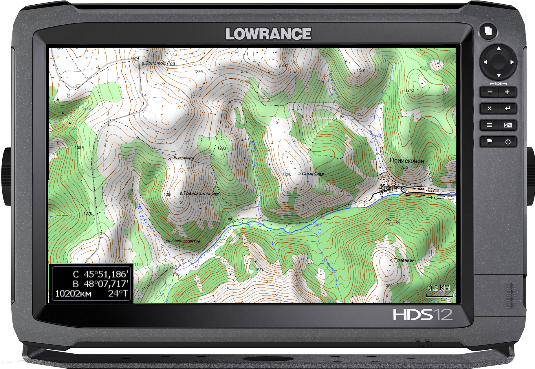
При заказе других стран так же используется карты Генерального штаба СССР, местные военные карты и материал проекта OSM. 100% покрытие по всей планете. Максимальная детализация.
Исландия, окрестности Рейкьявика
The set includes 3 raster layers, arranged by scale:
The cartographic product of the State Gis Center is the most detailed topographic military maps of the Russian Federation.
The margins of the sheets are trimmed and the edges are glued together seamlessly.
Brightness and contrast are manually increased for better readability in the field.
military maps 80-90s
General Staff 1: 100 000
1 cm = 1 km
Kilometers maps
Detailed maps of the area, available both for the nearest forest park and for the Amazonian jungle.
As a result of the Cold War, communism did not win throughout the entire planet. But the far-reaching plans of the USSR left detailed cartography covering the planet. With the collapse of the Union, the maps of the “general staff” became public knowledge.
These maps still have no modern analogues in difficult-to-reach areas.
military maps 80-90s
General Staff 1: 200,000
1 cm = 2 km
2-kilometer routes
A vector img background is applied. Modern roads with well-established clearings and populated areas. The map is scaled for easy searching at a distance. There is address search and routing using vector material.


