Spain

Европа

2км+1км+250м *.jnx
Бумажные военные карты Генерального штаба
1: 100 000  80х-90х годов
Бумажные военные карты Генерального штаба
1: 50 000  80х-90х годов
Современные военные карты ГосГисЦентр
1: 25 000  2010х годов выпуска.

We've prepared a map of every hill and clearing for your next trip.

The map contains detailed topographical data, including: landforms, elevations, roads and trails, rivers, lakes and geographic points.
Accurate mapping of cards. The position is on the road, not 100 meters from it.
Electric transmission lines are drawn in detail, poles, deforestation, bushes and gardens under power lines are marked
The boundaries of the blocks and numbers are indicated, quarterly clearings, cutting along them,
При заказе других стран так же используется карты Генерального штаба СССР, местные военные карты и материал проекта OSM. 100% покрытие по всей планете. Максимальная детализация.
Исландия, окрестности Рейкьявика
The set includes 3 raster layers, arranged by scale:

1:25 000

newest tOPO maps

1 cm = 250m
250 meters
The cartographic product of the State Gis Center is the most detailed topographic military maps of the Russian Federation.
The margins of the sheets are trimmed and the edges are glued together seamlessly.
Brightness and contrast are manually increased for better readability in the field.

military maps 80-90s

General Staff 1: 100 000

1 cm = 1 km
Kilometers maps
Detailed maps of the area, available both for the nearest forest park and for the Amazonian jungle.
As a result of the Cold War, communism did not win throughout the entire planet. But the far-reaching plans of the USSR left detailed cartography covering the planet. With the collapse of the Union, the maps of the “general staff” became public knowledge.
These maps still have no modern analogues in difficult-to-reach areas.

military maps 80-90s

General Staff 1: 200,000

1 cm = 2 km
2-kilometer routes
A vector img background is applied.  Modern roads with well-established clearings and populated areas.  The map is scaled for easy searching at a distance.  There is address search and routing using vector material.
Sat *.jnx
Satellite imagery is an up-to-date map of the area from this year.

Only on satellite imagery will you see the exact shape of each clearing and individual trees, the contour of the reservoir with 100% coincidence in coordinates and the new river bed.

We have prepared modern satellite maps for use on Garmin and Lowrance navigators and chart plotters, as a more detailed alternative to proprietary services.
We present preloaded satellite images at 1:10000 scale.  Throughout the entire region (subject of the Russian Federation).

When preparing maps, we are not limited by the capabilities of the garmin service, in terms of file size and territory. Thanks to this, the satellite map of the Kamchatka region occupies 8GB and has 100% coverage over the entire territory with a detail of 120m.  at 1 cm.
Garmin Birdseye  - satellite map download service for garmin.   The service operates on a subscription basis.   Subscription fee is $30 per year.

You can upload pictures up to 100MB. In this volume it is possible to install maps with a radius of up to 25 km, with minimal detail.  Uploading images of an entire region is not possible. Before each new route, preliminary loading of a separate area of ​​maps from a PC is required.
Garmin's satellite image provider is Microsoft's Bing service. Bing has excellent coverage throughout the US and Europe.

But there are territorial gaps in the Russian Federation. When preparing maps, satellite imagery of resources is used: Yandex, Esri, Google, Bing.  Material Combines for 100% coverage in a given area.
A relief and a vector map with roads, clearings, rivers, populated and useful points are superimposed. Can be installed as a main map or as an addition to general staff or depth maps.
3in1 *.jnx
Routing Vector Map

Discoverthe Beauty of Spain with Garmin Maps

A Journey Through Spain'sDiverse Landscapes

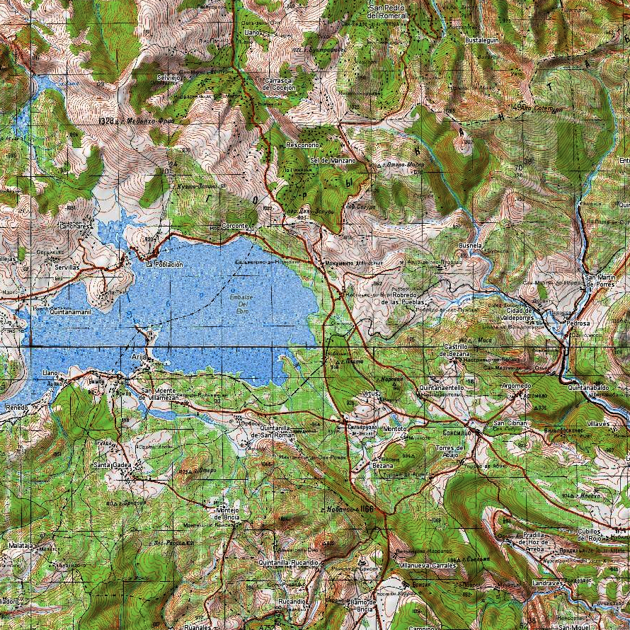
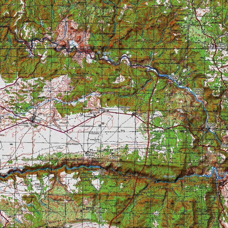
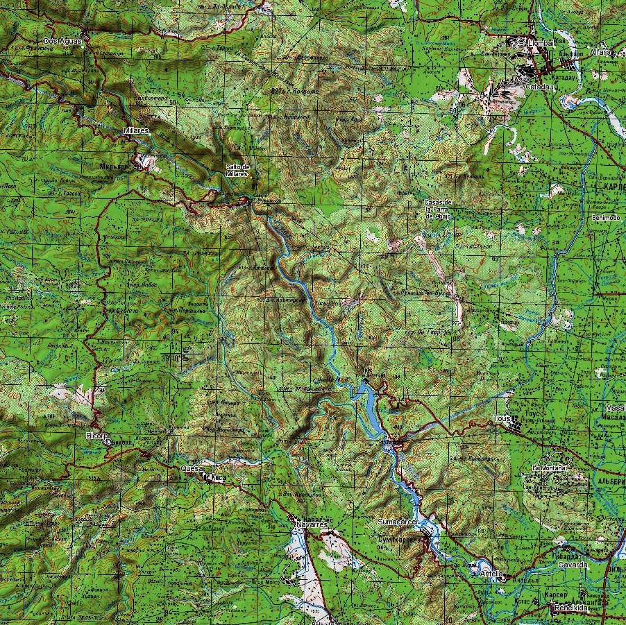
Welcome to Spain, a country known for its rich culture, stunninglandscapes, and vibrant cities. With Garmin maps, you can make the most of yourSpanish adventure, ensuring you never miss a moment of beauty or excitement.

Exploring Spanish Cities

1. Madrid - The Capital

Use Garmin GPSMAP 64s or Edge Explore 1000 to navigate the lively streetsof Madrid. Explore the Royal Palace, visit world-class museums like the Prado,and savor tapas in the historic neighborhoods.

2. Barcelona - Catalonia'sJewel

Discover Barcelona with Garmin GPSMAP 62s or Montana 610. Admire thearchitectural wonders of Antoni Gaudí, relax on the city's beautiful beaches,and stroll down the vibrant La Rambla.

Embracing Natural Wonders

1. The Camino de Santiago -Pilgrimage Trail

Embark on the Camino de Santiago with Garmin GPSMAP 78sc or Oregon 750t.Hike this historic pilgrimage route, passing through picturesque villages andstunning countryside.

2. Costa del Sol - BeachParadise

Navigate to the Costa del Sol with Garmin GPSMAP 64 or Edge Explore 820.Relax on the sun-soaked beaches, explore charming coastal towns, and enjoyfresh seafood.

Savoring Spanish Culture

1. Flamenco Music

Find Flamenco shows with Garmin GPSMAP 64s or Edge Explore 1000. Experiencethe passion of traditional Flamenco music and dance in Seville or Granada.

2. Culinary Delights

Explore Spain's culinary treasures with Garmin GPSMAP 62s or Montana 610.Indulge in paella in Valencia, savor authentic churros in Madrid, and sampletapas in Barcelona.

Responsible Travel

1. Preserve Natural Beauty

Respect Spain's diverse ecosystems by staying on designated paths anddisposing of waste responsibly, especially in natural parks and reserves.

2. Cultural Sensitivity

Embrace Spanish customs and traditions. Learn a few basic Spanish phrasesto enhance your travel experience and show appreciation for the local culture.

Conquer Spain with Garmin

Spain offers a blend of historic charm, breathtaking landscapes, andvibrant culture. Whether you're wandering through the historic streets ofMadrid, hiking the Camino de Santiago, or lounging on the Costa del Sol, Garminmaps and devices will ensure you make the most of your Spanish escapade.

Road network and settlements
  • Address search
Route planning
Adress  Search
Satellite imagery is an up-to-date map of the area from this year.  

Only on satellite imagery will you see the exact shape of each clearing and individual trees, the contour of the reservoir with 100% coincidence in coordinates and the new river bed.

We have prepared modern satellite maps for use on Garmin and Lowrance navigators and chart plotters, as a more detailed alternative to proprietary services.
We present preloaded satellite images at 1:10000 scale.  Throughout the entire region (subject of the Russian Federation).

When preparing maps, we are not limited by the capabilities of the garmin service, in terms of file size and territory. Thanks to this, the satellite map of the Kamchatka region occupies 8GB and has 100% coverage over the entire territory with a detail of 120m.  at 1 cm.
Garmin Birdseye - satellite map download service for garmin.   The service operates on a subscription basis.   Subscription fee is $30 per year.  

You can upload pictures up to 100MB. In this volume it is possible to install maps with a radius of up to 25 km, with minimal detail.  Uploading images of an entire region is not possible. Before each new route, preliminary loading of a separate area of   maps from a PC is required.
Garmin's satellite image provider is Microsoft's Bing service. Bing has excellent coverage throughout the US and Europe.

But there are territorial gaps in the Russian Federation. When preparing maps, satellite imagery of resources is used: Yandex, Esri, Google, Bing.  Material Combines for 100% coverage in a given area.

A relief and a vector map with roads, clearings, rivers, populated and useful points are superimposed. Can be installed as a main map or as an addition to general staff or depth maps.
Бумажные военные карты Генерального штаба
1: 100 000  80х-90х годов
Бумажные военные карты Генерального штаба
1: 50 000  80х-90х годов
Современные военные карты ГосГисЦентр
1: 25 000  2010х годов выпуска.

We've prepared a map of every hill and clearing for your next trip.  

The map contains detailed topographical data, including: landforms, elevations, roads and trails, rivers, lakes and geographic points.
Accurate mapping of cards. The position is on the road, not 100 meters from it.
Electric transmission lines are drawn in detail, poles, deforestation, bushes and gardens under power lines are marked
The boundaries of the blocks and numbers are indicated, quarterly clearings, cutting along them,
При заказе других стран так же используется карты Генерального штаба СССР, местные военные карты и материал проекта OSM. 100% покрытие по всей планете. Максимальная детализация.
Исландия, окрестности Рейкьявика
The set includes 3 raster layers, arranged by scale:  

1:25 000

newest military maps

1 cm = 250m  
250 meters  
The cartographic product of the State Gis Center is the most detailed topographic military maps of the Russian Federation.
The margins of the sheets are trimmed and the edges are glued together seamlessly.
Brightness and contrast are manually increased for better readability in the field.

military maps 80-90s

ussr 1: 100 000

1 cm = 1 km
Detailed maps of the area, available both for the nearest forest park and for the Amazonian jungle.
As a result of the Cold War, communism did not win throughout the entire planet. But the far-reaching plans of the USSR left detailed cartography covering the planet. With the collapse of the Union, the maps of the “general staff” became public knowledge.
These maps still have no modern analogues in difficult-to-reach areas.

military maps 80-90s

ussr 1: 200,000

1 cm = 2 km
A vector img background is applied.  Modern roads with well-established clearings and populated areas.  The map is scaled for easy searching at a distance.  There is address search and routing using vector material.

Vector & All Rastr Layers

Бумажные военные карты Генерального штаба
1: 100 000  80х-90х годов
Бумажные военные карты Генерального штаба
1: 50 000  80х-90х годов
Современные военные карты ГосГисЦентр
1: 25 000  2010х годов выпуска.

We've prepared a map of every hill and clearing for your next trip.  

The map contains detailed topographical data, including: landforms, elevations, roads and trails, rivers, lakes and geographic points.
Accurate mapping of cards. The position is on the road, not 100 meters from it.
Electric transmission lines are drawn in detail, poles, deforestation, bushes and gardens under power lines are marked
The boundaries of the blocks and numbers are indicated, quarterly clearings, cutting along them,
При заказе других стран так же используется карты Генерального штаба СССР, местные военные карты и материал проекта OSM. 100% покрытие по всей планете. Максимальная детализация.
Исландия, окрестности Рейкьявика
The set includes 3 raster layers, arranged by scale:  

1:25 000

newest military maps

1 cm = 250m  
250 meters  
The cartographic product of the State Gis Center is the most detailed topographic military maps of the Russian Federation.
The margins of the sheets are trimmed and the edges are glued together seamlessly.
Brightness and contrast are manually increased for better readability in the field.

military maps 80-90s

ussr 1: 100 000

1 cm = 1 km
Detailed maps of the area, available both for the nearest forest park and for the Amazonian jungle.
As a result of the Cold War, communism did not win throughout the entire planet. But the far-reaching plans of the USSR left detailed cartography covering the planet. With the collapse of the Union, the maps of the “general staff” became public knowledge.
These maps still have no modern analogues in difficult-to-reach areas.

military maps 80-90s

ussr 1: 200,000

1 cm = 2 km
A vector img background is applied.  Modern roads with well-established clearings and populated areas.  The map is scaled for easy searching at a distance.  There is address search and routing using vector material.
Satellite imagery is an up-to-date map of the area from this year.  

Only on satellite imagery will you see the exact shape of each clearing and individual trees, the contour of the reservoir with 100% coincidence in coordinates and the new river bed.

We have prepared modern satellite maps for use on Garmin and Lowrance navigators and chart plotters, as a more detailed alternative to proprietary services.
We present preloaded satellite images at 1:10000 scale.  Throughout the entire region (subject of the Russian Federation).

When preparing maps, we are not limited by the capabilities of the garmin service, in terms of file size and territory. Thanks to this, the satellite map of the Kamchatka region occupies 8GB and has 100% coverage over the entire territory with a detail of 120m.  at 1 cm.
Garmin Birdseye - satellite map download service for garmin.   The service operates on a subscription basis.   Subscription fee is $30 per year.  

You can upload pictures up to 100MB. In this volume it is possible to install maps with a radius of up to 25 km, with minimal detail.  Uploading images of an entire region is not possible. Before each new route, preliminary loading of a separate area of   maps from a PC is required.
Garmin's satellite image provider is Microsoft's Bing service. Bing has excellent coverage throughout the US and Europe.

But there are territorial gaps in the Russian Federation. When preparing maps, satellite imagery of resources is used: Yandex, Esri, Google, Bing.  Material Combines for 100% coverage in a given area.

A relief and a vector map with roads, clearings, rivers, populated and useful points are superimposed. Can be installed as a main map or as an addition to general staff or depth maps.